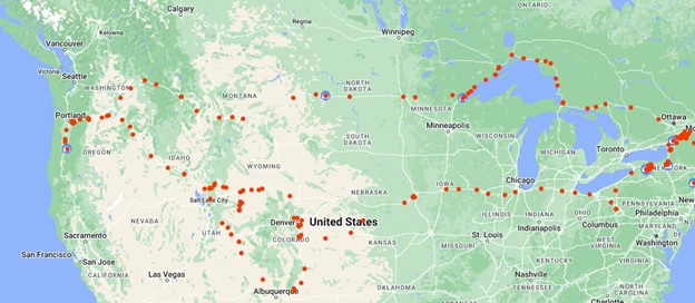
St. Lawrence Valley to the Great Plains

Potsdam to Sewickley, PA
As I noted in the Overview, I started noticing landscapes from the beginning. Routes I’ve driven hundreds of times suddenly revealed themselves. The colors of the fields in May, the play of water on rock, and the mud in the Salmon River all stood out.
Passing through Montezuma Wildlife Refuge, I remembered witnessing a miracle. A dog jumped out of the back of a truck, rolled, and got up dazed in the median. The driver hadn’t seen what happened, so he didn’t stop, but I pulled over on the right shoulder. The dog was a little dazed but saw my car and was able to run safely across from the median. I opened the back door, and he jumped into the car. Speeding down the road, I found the truck about four miles down, pulled over, and a distraught young man and his father were looking around for the dog. They were amazed and relieved when I pulled over with the dog. He was bleeding from road rash and limping but seemed otherwise healthy, considering the circumstances. I regret that I didn’t get their number to find out how the dog made out. The young man was a police officer, and the dog, his K-9 in training.
The trip to Rochester was another familiar one, as I grew up in Geneseo, and my parents lived there until their passing. Buffalo wasn’t new, either, and I’d made the trip to Pittsburgh numerous times. Still, leaving the shores of Lake Erie and heading south into the Appalachian Mountains stirred something. Unlike some places where the mountains rise abruptly from the plain, here the plains turn to hills and finally to gentle, eastern mountains.
I stayed the night with a friend in Sewickley, a suburb of Pittsburgh with a character all its own. The houses were modest and clean, but the legacy of river-as-industrial-resource meant that the banks of the Ohio River that runs through it aren’t easy to access for recreation. There was a boat launch, but it was a concrete affair, and even the park a few blocks down didn’t have access. In fact, both sides of the river were bounded by roadways, leaving little space on the banks.
Sewickley to Ottawa, IL
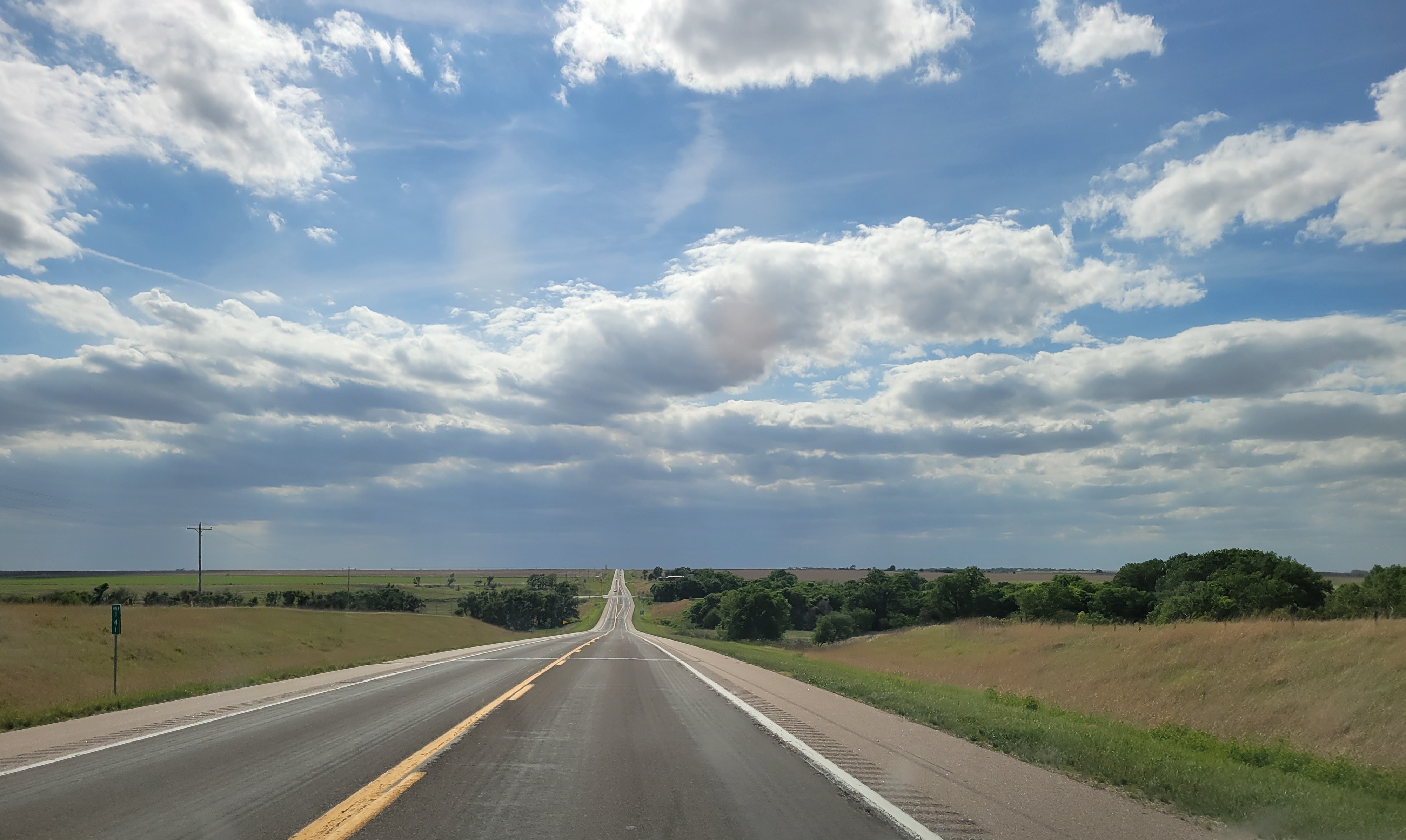
Leaving Sewickley, the route backtracked from the day before, then cut west through Ohio—Youngstown, and Cleveland—and onto the very flat plains of northern Indiana and Illinois. After the rolling hills, the flat plain left more room for sky. The horizon was near and very low. I remember a rainy Thanksgiving Day in Wisconsin, riding south from Madison to Springfield, IL, to join a friend’s family. I was pretty hungover and periodically, I would look out, and the view stretched for miles. It finally dawned on me that these were the views from the Interstate overpasses, the highest point for miles.
Iowa
The trip from Ottawa to Davenport, on the Mississippi River that forms the border between Iowa and Illinois, was about 100 miles. Once into Iowa, the land began to gently undulate. Instead of being dead flat, it rolled a little and had creeks and sloughs running through it. Something about this change was mesmerizing, but I can’t seem to find words to describe it.
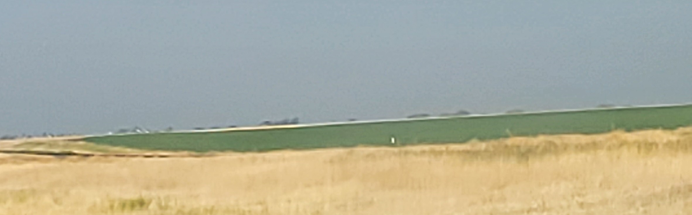
There were also smoothly bordered oblong grass patches. They were clearly deliberate in the planted fields, and it was a mystery how the ends, which had a radius of about 4 feet, were created with the huge modern machinery. Their purpose was also puzzling. They didn’t seem to divert water, as they often ran up and down the grade. (Anyone who can shed any light on this, please comment.)
The day ended in Omaha, where I would spend the next four days at a workshop. I’m not good at describing cities, even though I get a different feel from each. Chain restaurants and stores aside, they still seem homogeneous. Or maybe the subtleties of urbanity are lost on me.
Omaha to New Mexico
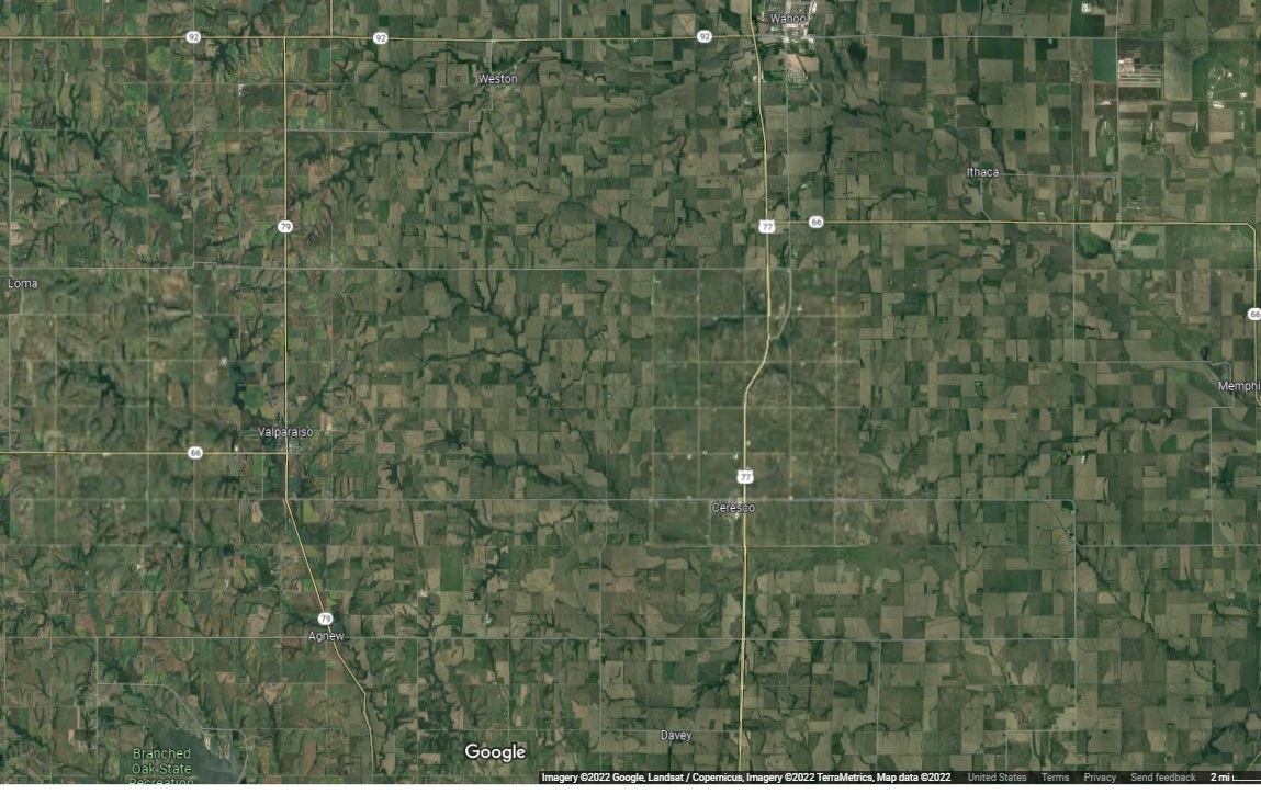
One of the things that changed across Iowa and Nebraska was how the land was used. In Iowa, the square fields were uniform, as you can see from this shot from Google Maps, with roads running along the section lines. (Unlike the east, where boundaries followed natural features like creeks and hills, human structures like the rock walls farmers built, or in the case of Boston streets, cow paths; land in the Midwest was taken from the Indigenous owners who held it without borders, and divided up into squares that were sold to Europeans, who believed land could be owned.)

Once across the Mississippi, there was a change. First, to differences in the use of the fields.
And then, from rectangles to circles where the land is irrigated with center pivots.

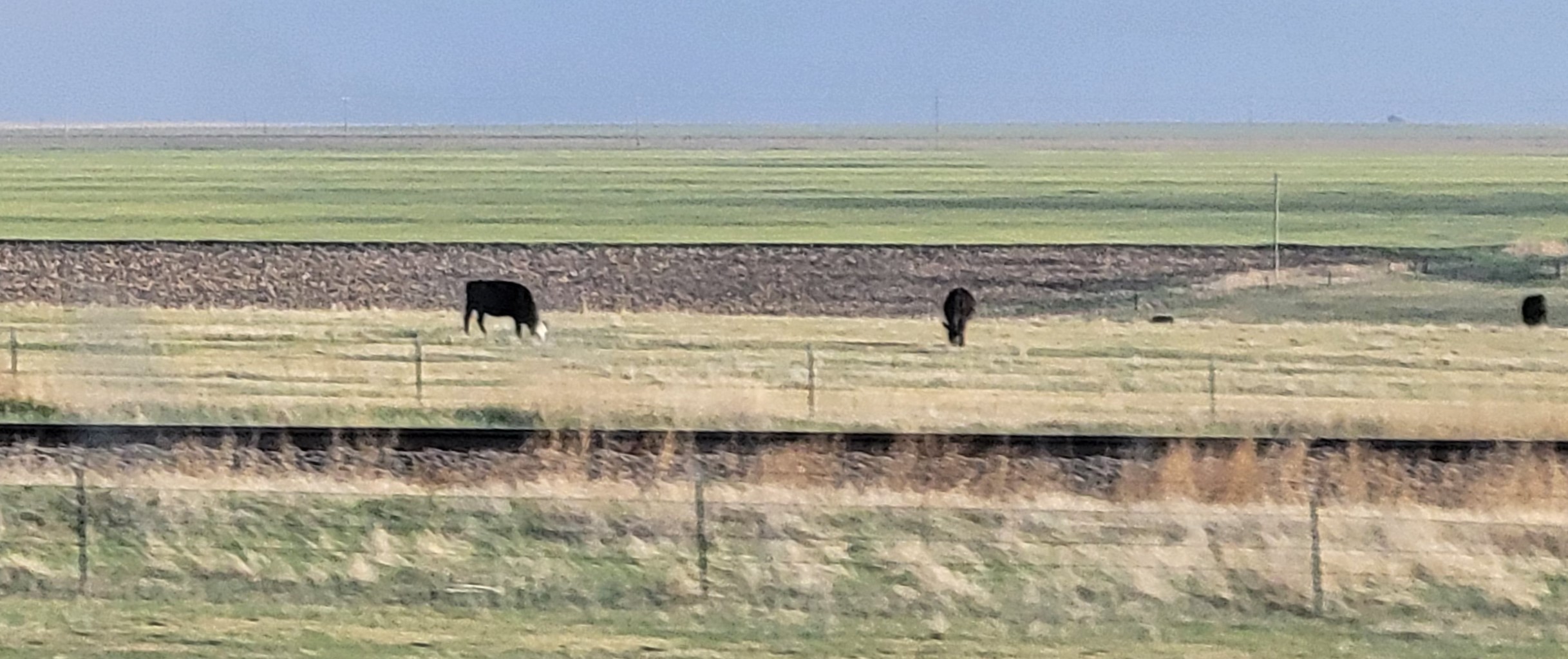
Moving southeast, the land goes from cultivation
to pasture.
Throughout these posts, I will apologize for the quality of the photos. They were only meant as notes for writing these essays, but sometimes even bad photos are more effective than words.
The change across this section of the country—from green, rectangular fields, to green circles in brown fields, to brown pasture—is indicative of water availability. As a child of the Great Lakes region, I am used to water. Sure, yesterday and today, the humidity made me want to curl up in a ball and sleep until October, but I appreciate the abundance and respect the gift. In the western plains, water isn’t abundant, and irrigation has become essential to the agricultural economy. Water has become scarcer throughout the west, including the Mississippi basin. It’s clear that there has to be a change…but that’s another topic.
There are a couple of things that aren’t related to the landscape worth noting. First, the speed limit increased as I went west, from 65 to 70, then 75, and finally 80. I was driving long distances and feared the higher speeds would be daunting. Ironically, the actual speed wasn’t very different. Sure, some people were going 85 in an 80 MPH zone, but there were also people doing 75, the speed I usually go in the 65 MPH zones on eastern Interstates. And in the places where people were going fast, there was very little traffic and long sight distances.
Second, there aren’t many people on the western plains. I took most of these photos out the car window and cropped the road out of some of them. Note, though, in the first photo that I’m on a major two-lane highway, and there are no cars in sight. For every car I saw on the Interstates in the western plains, there were 5 tractor-trailers. In the 250 miles across western KS and southeastern CO, half a dozen cars passed me, and I passed one or two.
Part of this lack of people is due to the reduction in people required to farm in the Midwest. One of the most iconic scenes in this area is the tiny hamlets around the grain elevators.
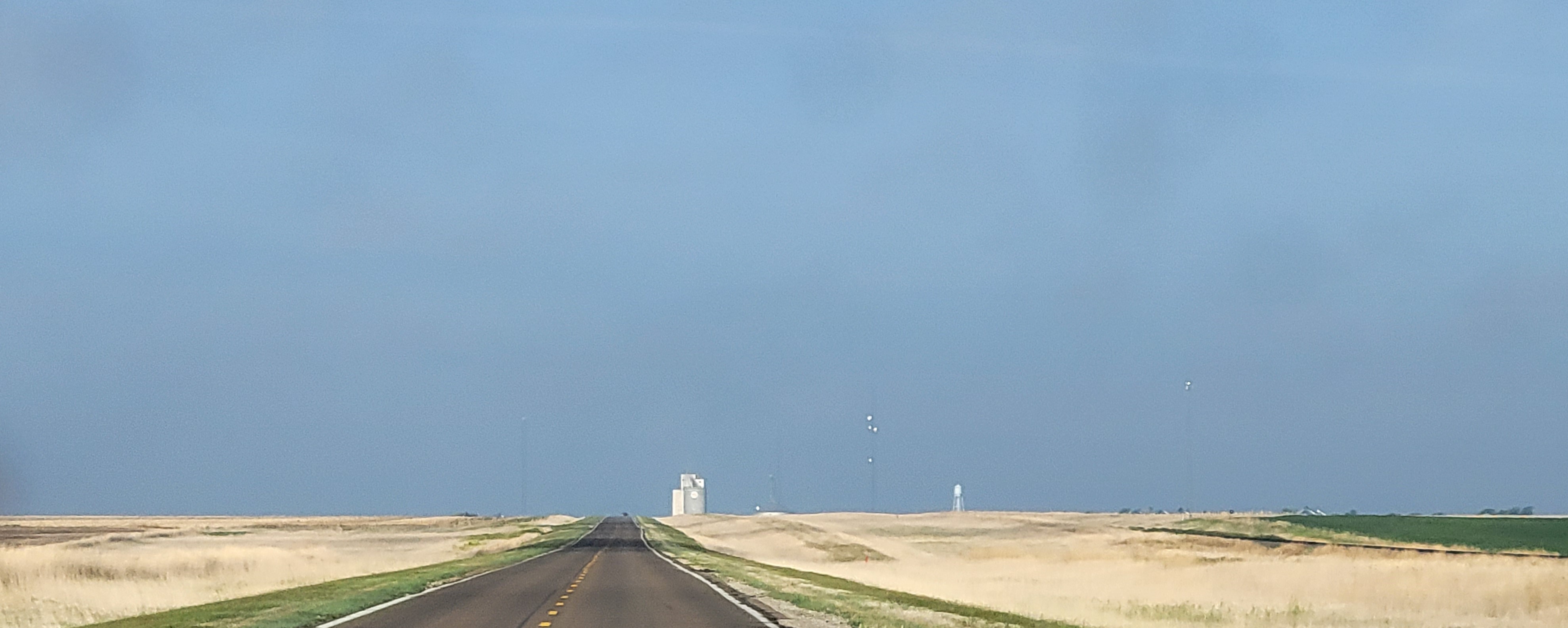
They appear like castles on the horizon, miles before you can see the town around them. They reflect the economy of the place—an elevator with peeling paint; a gas station, store, and restaurant all closed down. There are usually about 30 – 50 houses, and many are vacant. I thought I had some photos of one of the hamlets, but I don’t.
One of the most impressive things in big sky country is the clouds.
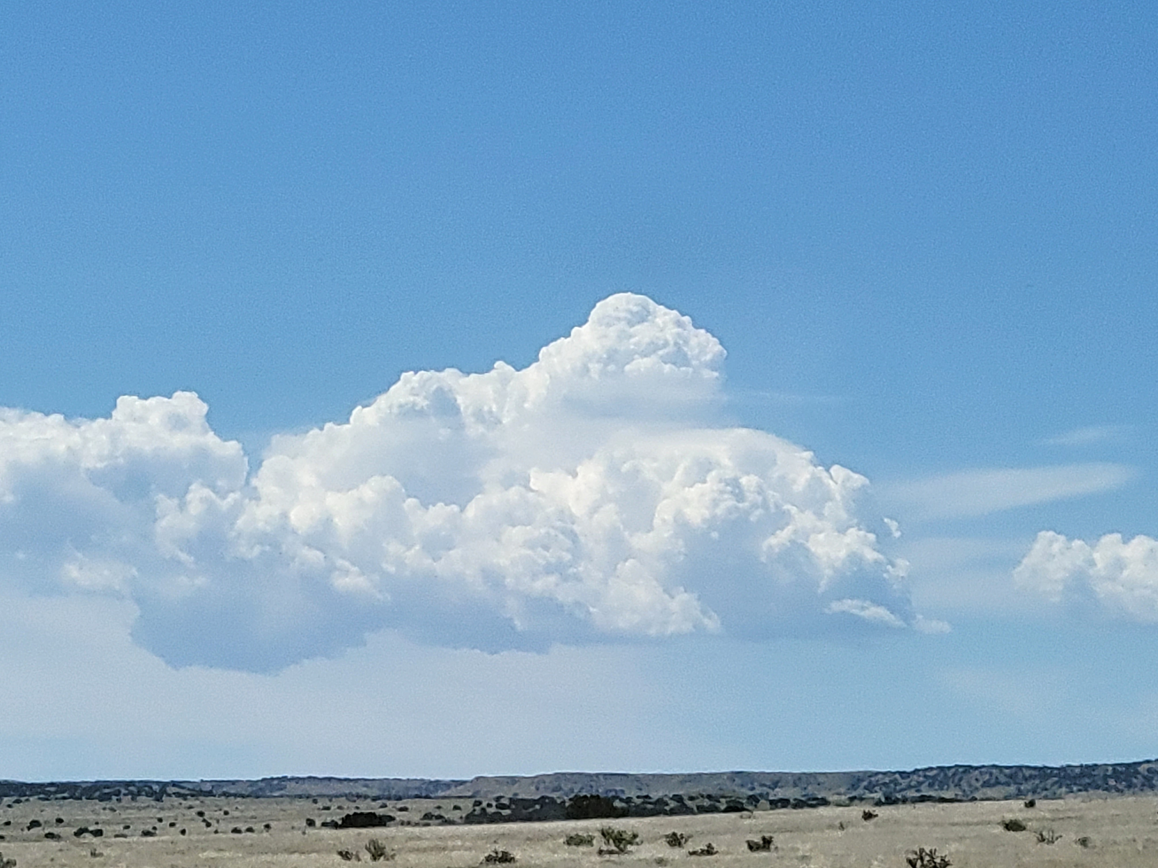
By now, the plains have become very dry, as any moisture in the prevailing west winds has been rained out as the air rose over the Rockies and other western ranges. Finally, those mountains appeared.

Before long, I would be in the New Mexico desert.